Resources
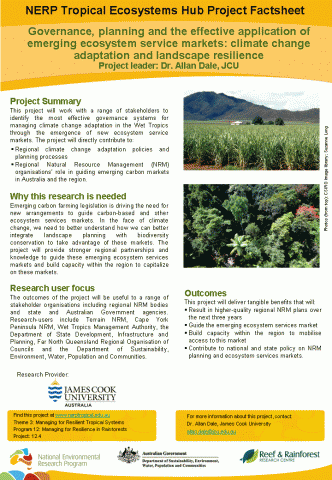 This project will work with a range of stakeholders to identify the most effective governance systems for managing climate change adaptation in the Wet Tropics through the emergence of new ecosystem service markets. The project will directly contribute to:
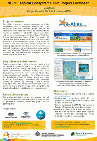 The e-Atlas is a website, mapping system and set of data visualisation tools for presenting research data in an accessible form that promotes greater use of this information. The e-Atlas will serve as the primary data and knowledge repository for all NERP Tropical Ecosystems Hub projects, which focus on the Great Barrier Reef, Wet Tropics rainforest and Torres Strait. The e-Atlas will capture and record research outcomes and make them available to research-users in a timely, readily accessible manner. It will host meta-data records and provide an enduring repository for raw data. It will also develop and host web visualisations to view information using a simple and intuitive interface. This will assist scientists with data discovery and allow environmental managers to access and investigate research data.
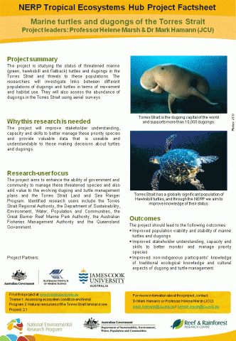 The project is studying the status of threatened marine (green, hawksbill and flatback) turtles and dugongs in the Torres Strait and threats to these populations. The researchers will investigate links between different populations of dugongs and turtles in terms of movement and habitat use. They will also assess the abundance of dugongs in the Torres Strait using aerial surveys.

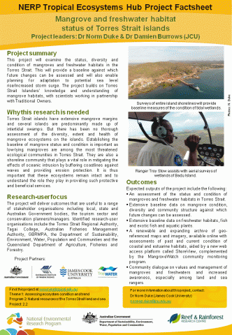 This project will examine the status, diversity and condition of mangroves and freshwater habitats in the Torres Strait. This will provide a baseline against which future changes can be assessed and will also enable planning for adaptation to potential sea level rise/increased storm surge. The project builds on Torres Strait Islanders’ knowledge and understanding of mangrove habitats, with scientists working in partnership with Traditional Owners.

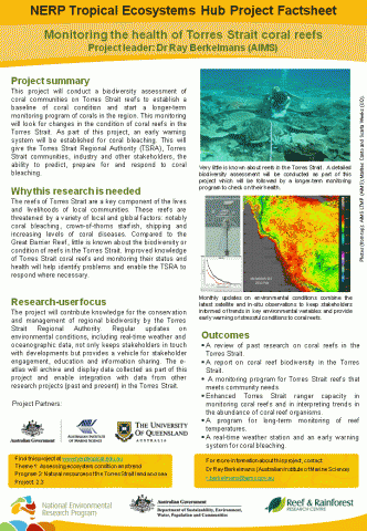 This project will conduct a biodiversity assessment of coral communities on Torres Strait reefs to establish a baseline of coral condition and start a longer-term monitoring program of corals in the region. This monitoring will look for changes in the condition of coral reefs in the Torres Strait. As part of this project, an early warning system will be established for coral bleaching. This will give the Torres Strait Regional Authority (TSRA), Torres Strait communities, industry and other stakeholders, the ability to predict, prepare for and respond to coral bleaching.

 This project will help us manage and protect the biodiversity of the Wet Tropics by increasing our understanding of the past, present and future patterns and drivers of rainforest biodiversity. The research will increase our baseline data and knowledge while increasing our understanding of the vulnerability of our tropical forests to climate change. The project’s objective is to provide knowledge that will inform evidence-based policy and management of biodiversity within the region and nationally.
The project consists of four subprojects that will each address high priority research needs:
• Monitoring
• Climate change vulnerability and adaptation
• Determinants of biodiversity
• Status, trends and future predictions

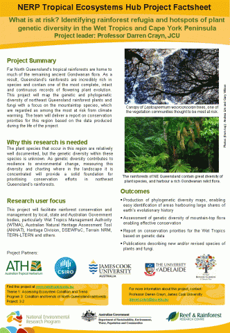 Far North Queensland’s tropical rainforests are home to much of the remaining ancient Gondwanan flora. As a result, Queensland’s rainforests are incredibly rich in species and contain one of the most complete, intact and continuous records of flowering plant evolution. This project will map the genetic and phylogenetic diversity of northeast Queensland rainforest plants and fungi with a focus on the mountaintop species, which are regarded as among the most at risk from climate warming. The team will deliver a report on conservation priorities for this region based on the data produced during the life of the project.

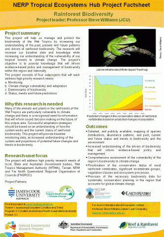
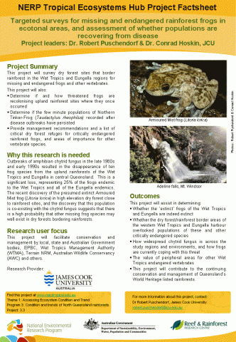 This project will survey dry forest sites that border rainforest in the Wet Tropics and Eungella regions for missing and endangered frogs and other vertebrates.

 Monitoring of cassowaries and spectacled flying foxes provides valuable information on population sizes and trends, the distribution of their populations, their habitat requirements, and threats to their survival.
The project will:
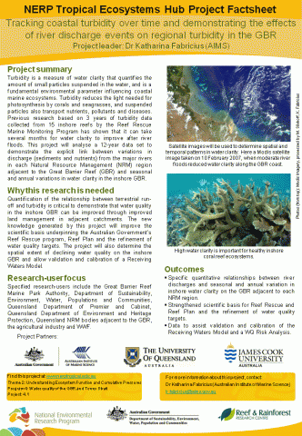 Turbidity is a measure of water clarity that quantifies the amount of small particles suspended in the water, and is a fundamental environmental parameter influencing coastal marine ecosystems. Turbidity reduces the light needed for photosynthesis by corals and seagrasses, and suspended particles also transport nutrients, pollutants and diseases. Previous research based on 3 years of turbidity data collected from 15 inshore reefs by the Reef Rescue Marine Monitoring Program has shown that it can take several months for water clarity to improve after river floods. This project will analyse a 12-year data set to demonstrate the explicit link between variations in discharge (sediments and nutrients) from the major rivers in each Natural Resource Management (NRM) region adjacent to the Great Barrier Reef (GBR) and seasonal and annual variations in water clarity in the inshore GBR.

